Select Hydrographic survey USVs from manufacturers and suppliers delivering advanced surface platforms for modern marine data collection. These unmanned surface vehicles support precise hydrographic surveying operations across coastal, inland, and offshore environments while reducing crew exposure, vessel costs, and operational complexity for ocean science and technology programs.
If you design, build or supply Hydrographic Survey USVs, create a profile to showcase your capabilities and connect with visitors who have an active requirement for your solutions.
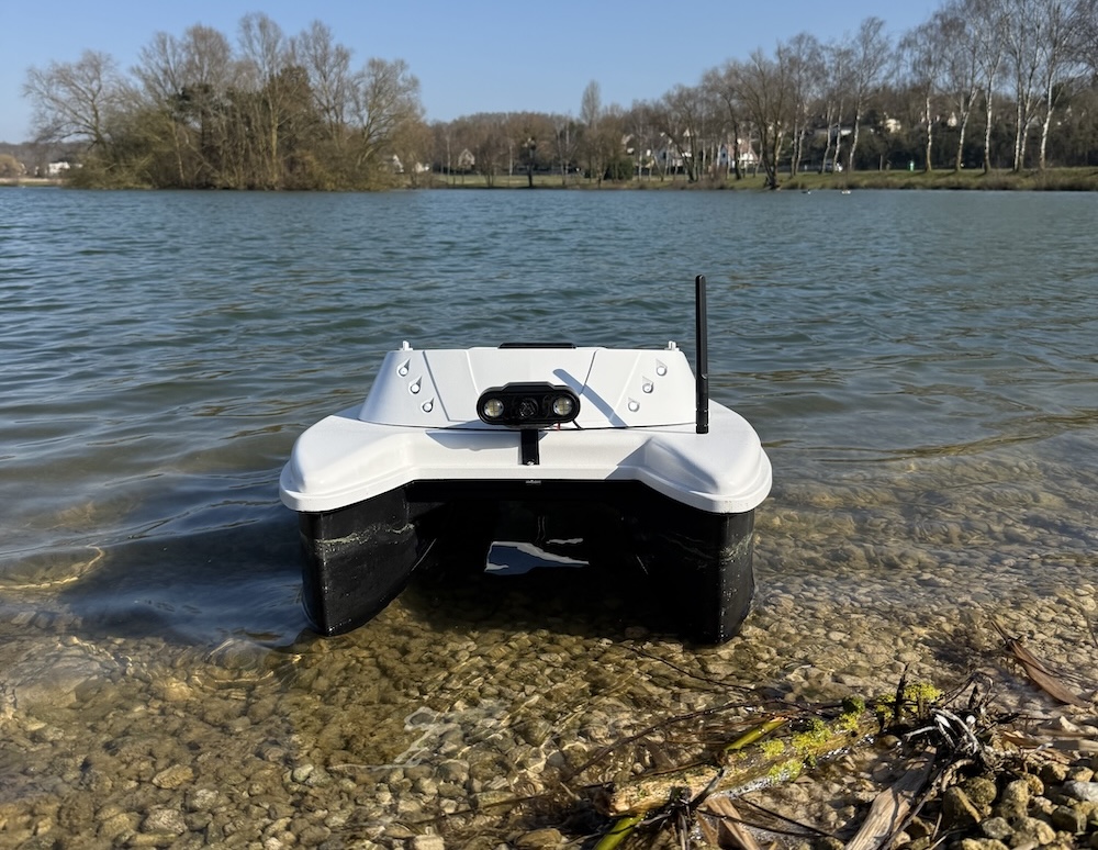
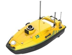
...athymetric and hydrographicsurvey platform designed to be launched and operated by just one person.... ...The IP67-rated USV features a hovering function that allows it to remain in place in flowing water,...
Solar-powered USV for high-resolution spatial data acquisition
Solar-powered USV for high-resolution spatial data acquisition
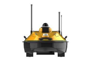
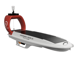
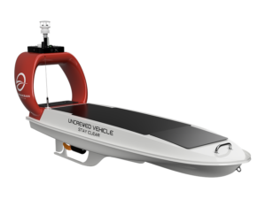
DataXplorer™ Survey is a solar-powered, zero-emissions uncrewed vessel that has been purpose-built... ...
The USV comes equipped as standard with a variety of sensors and payloads, including:
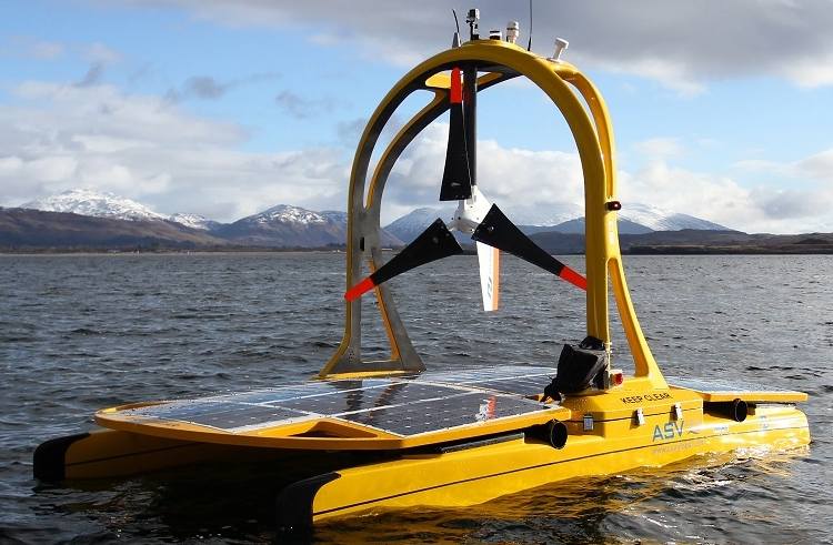
Long-endurance solar powered USV platforms for autonomous data collection
Long-endurance solar powered USV platforms for autonomous data collection
...DataXplorer™ Survey -includes multibeam sonar systems for efficient seafloor mapping and... ...DataXplorer™ USVs are solar-powered, zero-emission vessels designed to execute intelligent and...
Highly reconfigurable USV with enhanced mission endurance
Highly reconfigurable USV with enhanced mission endurance
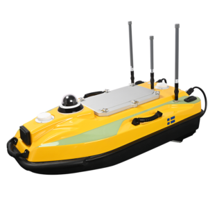
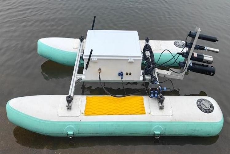
The BX-USV is a compact and lightweight autonomous robotic platform designed to offer a low-cost and... ...
The versatile USV is ideal for a variety of applications, including:
Hydrographic survey USVs are unmanned surface vehicles used to collect marine spatial data for charting, navigation safety, and waterway management. Unlike bathymetric platforms focused solely on depth, these systems support wider hydrographic tasks such as feature detection, obstruction identification, and chart validation. They enable efficient surveys in shallow, hazardous, or restricted environments, including ports, rivers, reservoirs, and nearshore coastal zones.
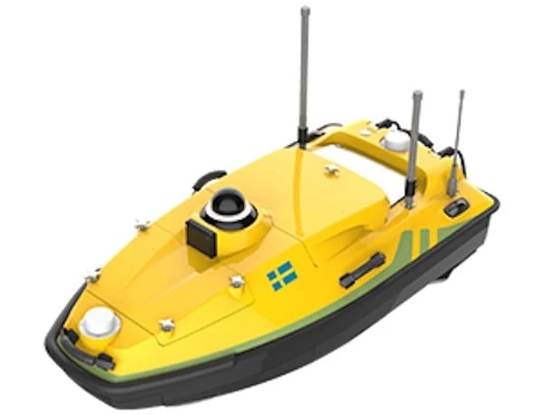
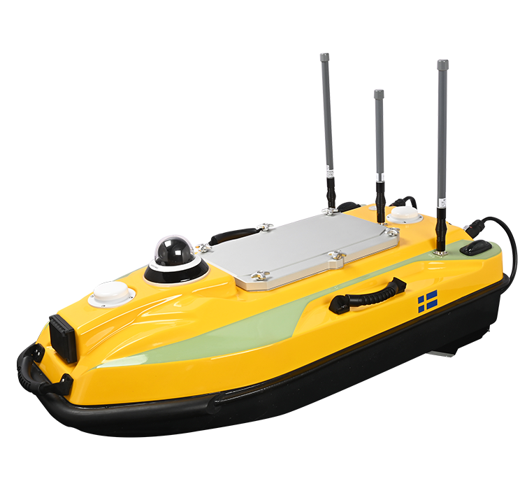
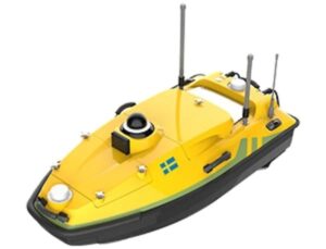
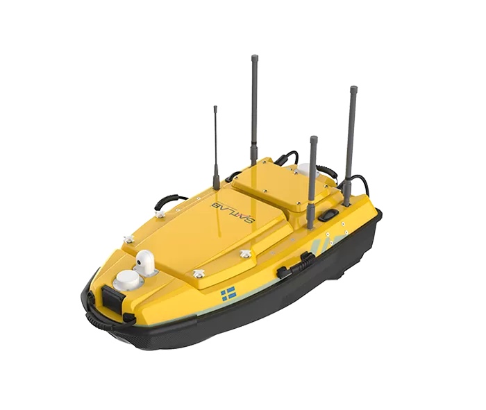
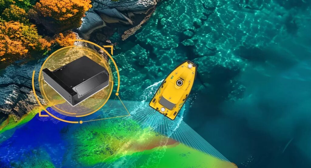
HydroBoat 1200 by SatLab Geosolutions
These platforms use stable monohull, catamaran, or trimaran designs and integrate GNSS, inertial navigation, motion reference units, and autopilot systems to maintain precise survey control. Collision avoidance, telemetry, and satellite or radio communications support safe and remotely supervised operations in complex waterways.
Applications and Use Cases
Nautical Charting
Hydrographic survey USVs support data collection for the creation and maintenance of nautical charts by detecting navigational hazards, shoreline features, and seabed characteristics required for safe vessel transit.
Port and Harbor Surveying
Compact, highly maneuverable platforms are used to inspect berths, channels, and turning basins, providing port authorities and operators with up-to-date hydrographic data.
Inland Waterway Surveying
Rivers, lakes, and reservoirs benefit from USV-based surveys where shallow depths, debris, or restricted access limit crewed vessel operations.
Coastal Engineering Surveys
Hydrographic survey USVs assist in shoreline monitoring, erosion studies, and infrastructure assessment for coastal development and protection projects.
Environmental and Habitat Surveys
These platforms enable low-impact data collection in sensitive marine and freshwater environments, supporting environmental monitoring and regulatory compliance.
Types of Hydrographic Survey USVs
Compact Survey USVs
DataXplorer™ USV by Open Ocean Robotics
Lightweight and portable systems designed for rapid deployment in confined or shallow areas, often launched by a single operator.
Long-Endurance Survey USVs
Platforms optimized for extended missions with increased battery capacity or hybrid power systems, suitable for large-area surveys.
Heavy Payload Survey USVs
Larger hulls capable of carrying multiple sensors simultaneously, supporting complex hydrographic data acquisition requirements.
Modular Survey USVs
Configurable designs that allow rapid reconfiguration of sensors, communications, and power systems based on mission needs.
Comparison With Crewed Survey Vessels
Compared to traditional crewed survey vessels, hydrographic survey USVs offer reduced operational risk, lower fuel and personnel costs, and greater access to shallow or restricted waters. Their smaller size and precise control allow surveys closer to shorelines and structures, improving data coverage. Crewed vessels remain advantageous for very large payloads or offshore endurance, but USVs increasingly complement or replace them in nearshore and inland survey operations.
Data Integration and Survey Software
Hydrographic survey USVs are typically integrated with professional survey software for mission planning, line control, and data logging. Sensor synchronization, timestamping, and quality control are managed onboard or via shore-based control stations. Data outputs are compatible with standard hydrographic processing workflows used by surveyors, researchers, and charting authorities.
Standards and Regulatory Considerations
Hydrographic survey USV operations often align with international and national standards governing marine surveys and unmanned systems. Relevant frameworks may include hydrographic survey standards issued by the International Hydrographic Organization, maritime safety regulations for unmanned vessels, and national guidance for autonomous surface vehicle operations. Compliance with these standards supports data acceptance for official charting, infrastructure planning, and regulatory reporting.
Role in Modern Hydrographic Programs
Hydrographic survey USVs have become a critical enabling technology within ocean science and technology, supporting safer, more efficient, and more flexible marine data collection. By combining precise navigation, autonomous control, and adaptable payload integration, these platforms address the evolving demands of hydrographic surveying across inland, coastal, and nearshore environments while complementing existing survey assets.
SatLab has launched the HydroBoat 1200 GEN2, integrating data fusion, millimeter-wave radar avoidance, and a four-hour dual-battery runtime for marine surveying applications
Open Ocean Robotics spoke to OST at Oceanology International 2026 in London, with CEO and Co-Founder Julie Angus outlining the company’s solar-powered USV platform and AI-enabled maritime monitoring capabilities
Demcon unmanned systems delivers a compact autonomous USV to Rijkswaterstaat, enabling advanced hydrographic surveying and monitoring in locations unsuitable for conventional survey vessels
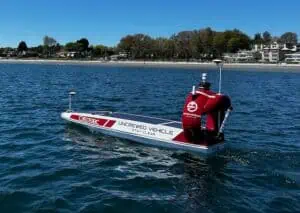
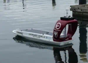
ZeroUSV's new Uncrewed Surface Vessel (USV), available for purchase or charter, is designed for long-range missions in defence and commercial hydrography, utilizing electric-hybrid propulsion and advanced autonomous software
Robosys Automation will deliver its VOYAGER AI Autonomous Navigation System to the University of Plymouth, integrating with a Royal Navy-supplied C-Enduro USV for hydrographic and oceanographic surveying and training
SatLab Geosolutions is introducing the HydroBoat 1200MB, a portable unmanned surface vessel (USV) equipped with the HydroBeam M2 multibeam echo sounder for accurate bathymetric mapping
AGISTAR's new BX-USV II is a compact, modular unmanned surface vessel featuring a lightweight, inflatable design for single-person deployment, making it well suited to diverse aquatic missions even in shallow waters