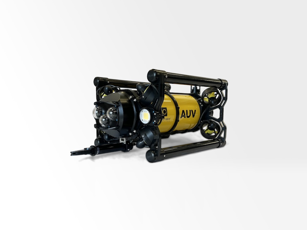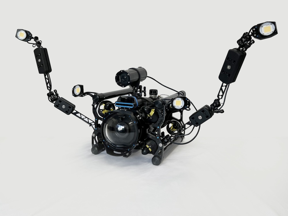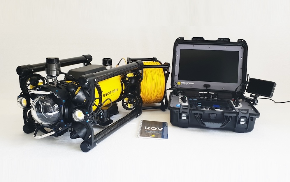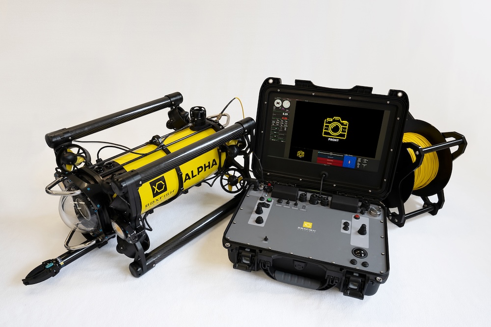

Boxfish Robotics details the use of its Autonomous Underwater Vehicle (AUV) technology to conduct repeatable seabed transects for environmental monitoring in the Rangitoto Channel at the Port of Auckland, New Zealand. Read more >>
The Port of Auckland Environmental Team requires repeatable seabed video transects to support environmental assessment and long-term comparison. Traditional methods such as diver surveys, towed camera systems, and tethered Remotely Operated Vehicles (ROVs) can struggle to maintain consistent altitude, lighting, and spatial repeatability, particularly in currents.
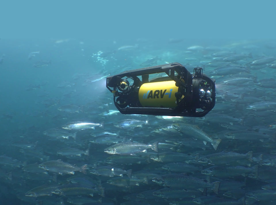
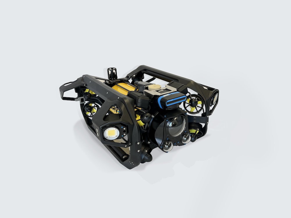
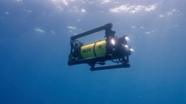
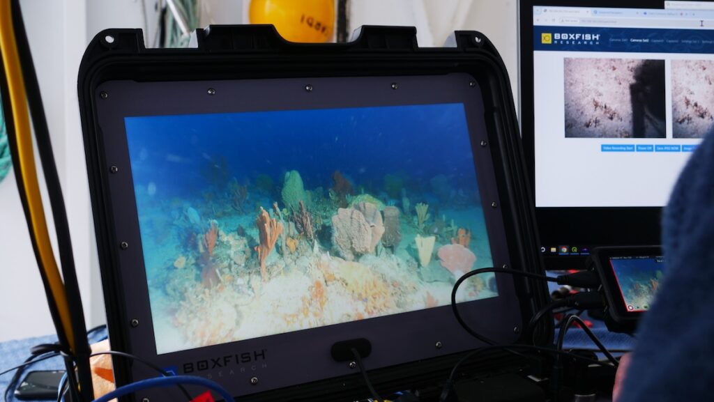
To address these challenges, the team conducted an autonomous transect survey using a hovering Boxfish AUV programmed to navigate predefined waypoints across the channel. The mission was planned in advance and executed without a tether or pilot, relying on onboard navigation. The AUV was launched and recovered from a small vessel by a two-person team and maintained a consistent survey altitude, pitch, and speed while collecting continuous video and positional data.
The resulting transect produced high-quality seabed video with stable framing, even illumination, and sharp individual frames. Maintaining a constant altitude delivered uniform scale and perspective across the entire transect, reducing variability commonly seen in towed camera footage. Individual frames were suitable for detailed review and documentation, supporting both qualitative and quantitative interpretation.
Latitude and longitude data were logged continuously at one-second intervals, providing a direct spatial reference for the imagery. The system also uses RTK GPS, improving absolute positional accuracy and supporting repeatable transect surveys over time.
Paul Kennedy, Environmental Consultant, commented, “The Boxfish AUV produced video at a very consistent altitude and was able to precisely follow the planned transect paths, which is difficult to achieve with normal tethered ROV (without GPS) or towed camera systems. This significantly improved the interpretation of seabed features and supports consistent spatial comparison along permanent transects.”
Optional on-screen captions can be enabled or disabled to display mission and positional metadata, allowing the same dataset to be used for technical review, internal analysis, and external reporting.
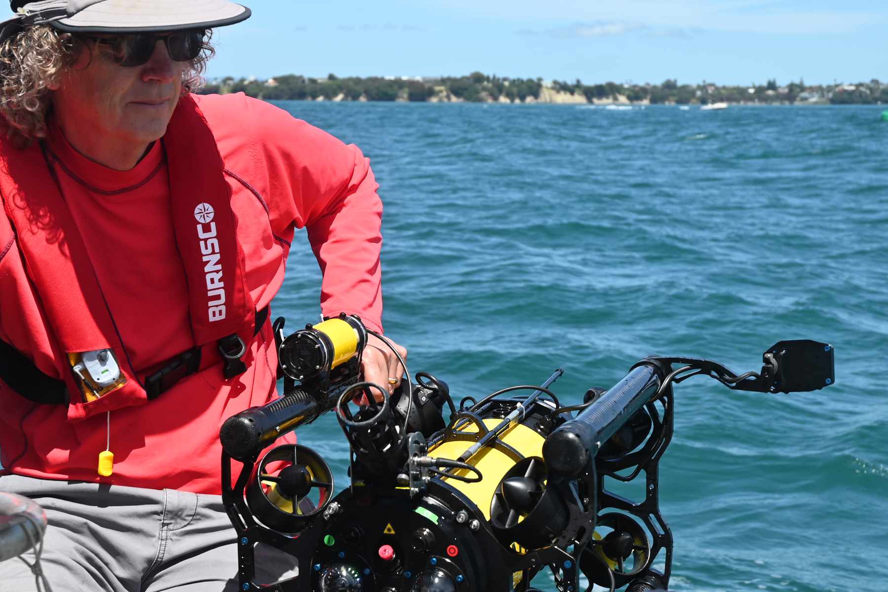
The Rangitoto Channel work demonstrates that autonomous surveys can meet environmental monitoring data quality and repeatability requirements while simplifying field operations. The ability to deploy and recover the system from a small vessel with a minimal crew reduces logistical complexity and enables more frequent surveys.
This approach supports consistent, comparable datasets over time, reduces reliance on specialist vessels or contractors, and allows organizations to retain greater control over survey timing, execution, and data quality.
Craig Anderson, Boxfish co-founder, added, “The Boxfish AUV was designed to optimise seabed monitoring by reducing operational variability and maximising data consistency. By using fully autonomous transects environmental teams can focus on data interpretation rather than vehicle control.”
Survey work like this is carried out by a variety of organizations such as ports and Councils in relation to dredging, discharges and construction activities.
To find out more information, read the case study ‘Autonomous Seabed Transects’ here >>