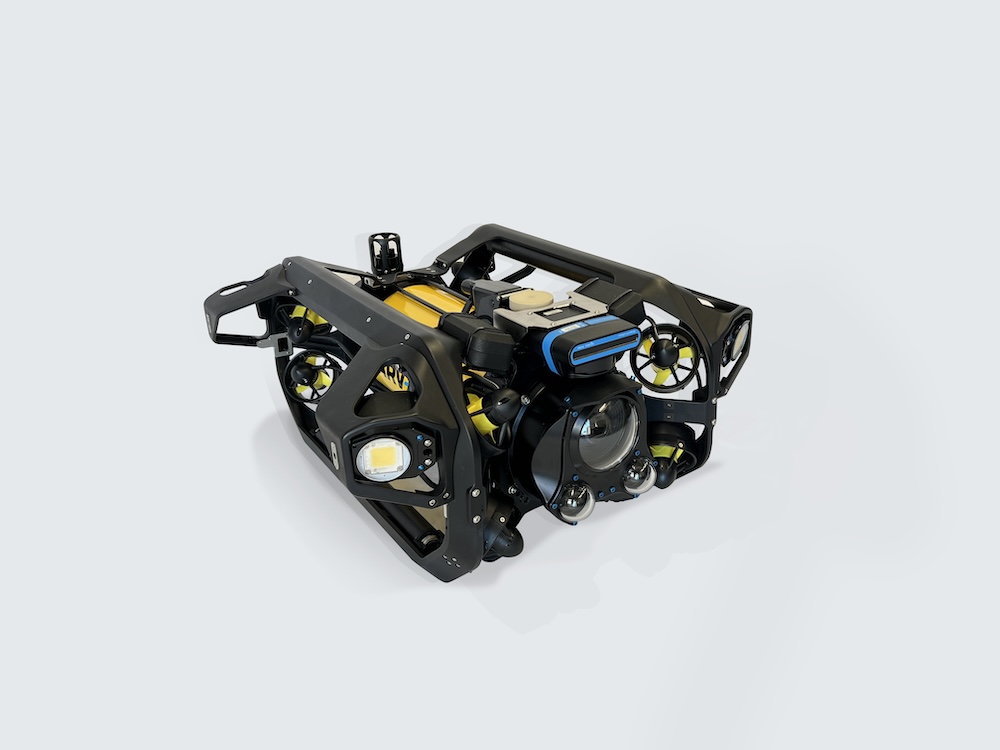
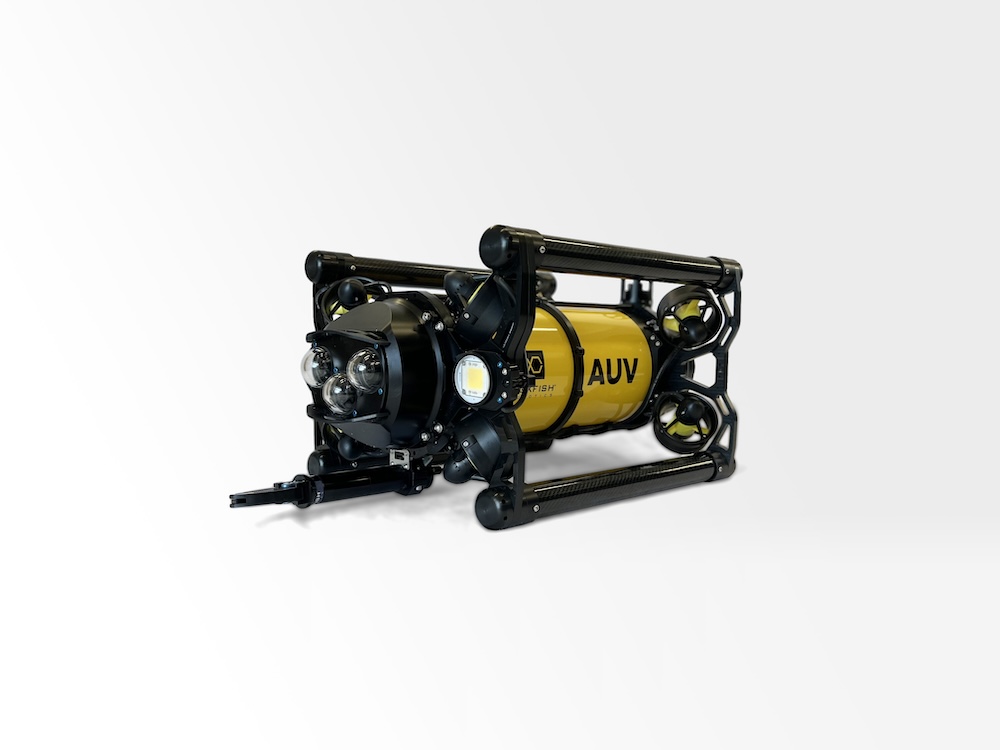
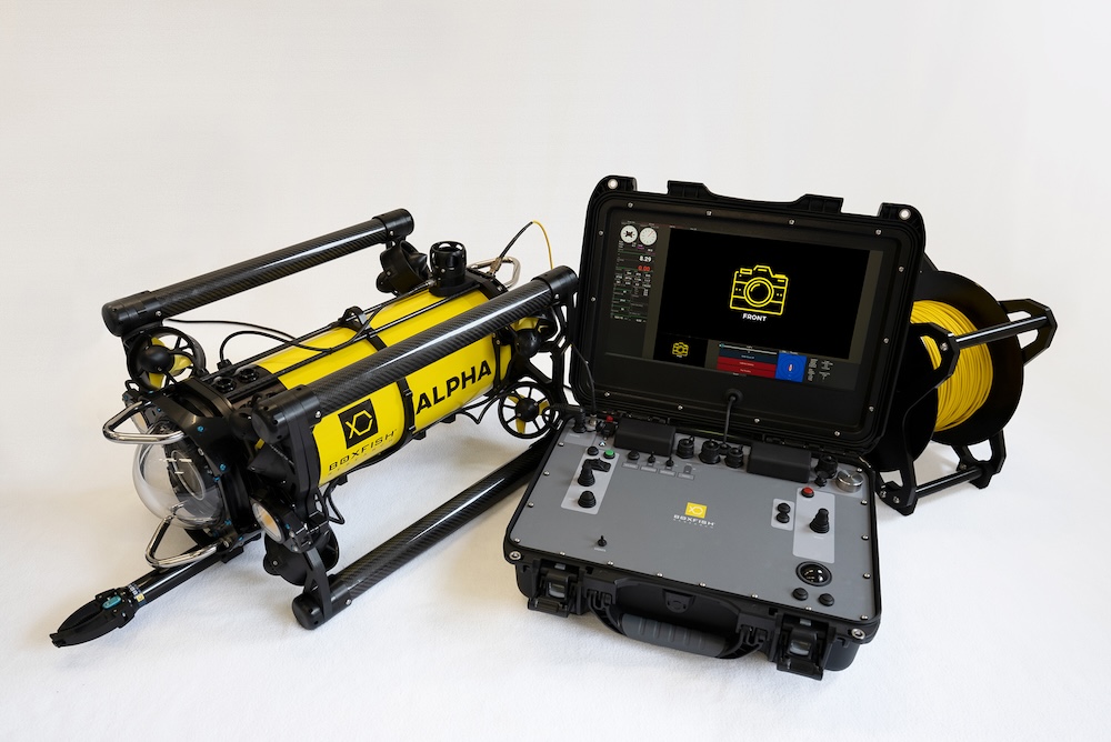
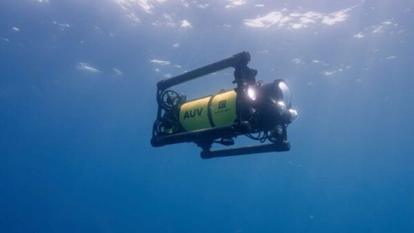
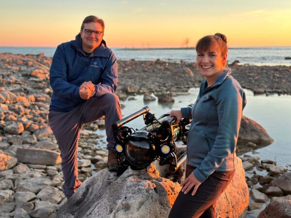
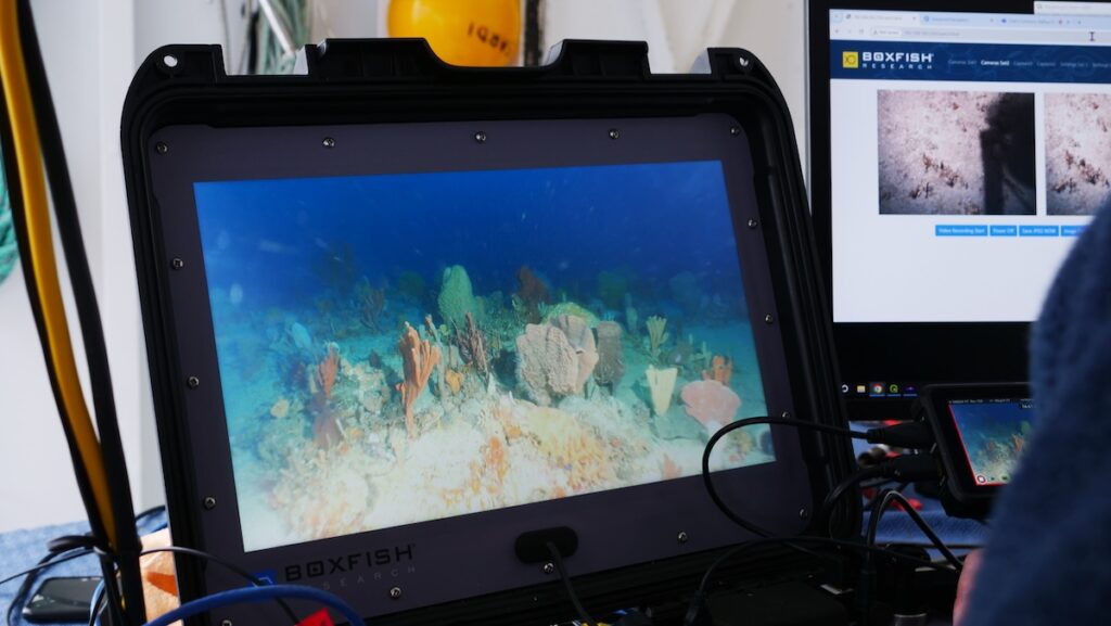
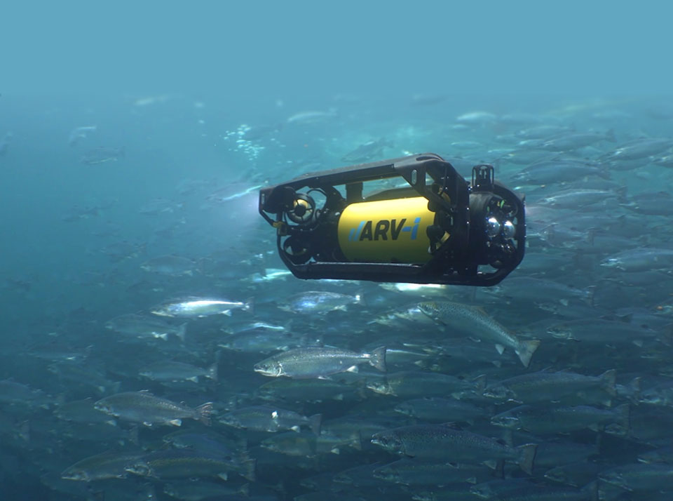
Boxfish Robotics highlights how recent autonomous transect missions using the Boxfish Autonomous Underwater Vehicle (AUV) demonstrate the measurable impact of autonomy on video-based seabed surveys.
By executing pre-programmed transect lines without pilot intervention, the Boxfish AUV maintains controlled altitude, consistent speed, and stable heading, ensuring defined survey geometry and uniform data capture for habitat mapping, biological assessment, and long-term marine monitoring. This controlled navigation profile produces stable, comparable video datasets that support quantitative analysis across sites and survey intervals.
Transect video surveys remain central to seabed research and regulatory programs. Conventional approaches, including diver-led operations, Remotely Operated Vehicle (ROV) deployments, and towed or drop-camera systems, provide valuable imagery but can introduce variation in altitude, trajectory, and coverage due to manual control, tether management, and environmental factors. Boxfish Robotics emphasizes that autonomous execution removes pilot-induced variability and eliminates tether-related constraints, improving consistency across extended transects while reducing operational complexity.
Repeatable Mission Execution in Varied Conditions
In autonomous mode, the Boxfish AUV follows predefined lines while maintaining programmed survey parameters throughout the mission profile. Camera angle and operating altitude are established prior to deployment, and operators can conduct a short quality control mission at the start of fieldwork to confirm image clarity, framing, and survey geometry before executing the full transect plan. If required, mission parameters can be refined prior to the primary data collection run.
Tetherless operation allows the vehicle to perform efficiently in moderate currents and challenging seabed conditions that may limit diver-based or ROV surveys. Without continuous pilot input, the AUV maintains steady navigation performance over long distances, supporting multiple transect lines within a single deployment. Each transect is completed exactly as planned, enabling direct comparison between survey areas and across time. Identical missions can be repeated months or years later with a high degree of precision, supporting time-series monitoring and change detection programs that depend on standardized methodology.
Synchronized, Georeferenced Survey Data
Recent deployments further demonstrate the importance of tightly synchronized data capture. The Boxfish AUV aligns video, navigation, and onboard sensor data to ensure accurate spatial and temporal correlation for every recorded frame, preserving the positional integrity of the survey record.
This integrated dataset can be overlaid directly onto recorded imagery or exported into GIS platforms and analytical software for visualization, interpretation, and reporting. By combining consistent transect execution with synchronized data streams, the system provides a structured and repeatable survey methodology focused on spatial reliability, data quality, and long-term monitoring value.
To learn more about autonomous transect video surveys with Boxfish AUV, visit Boxfish Robotics’ website.






 Searching Companies & Products