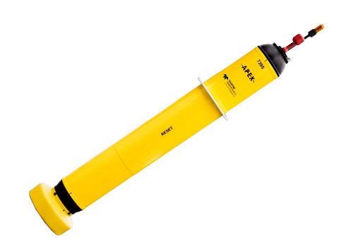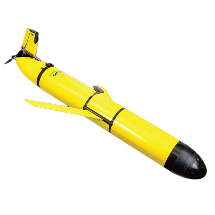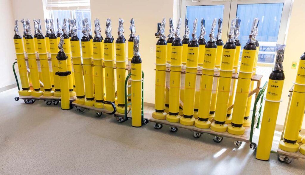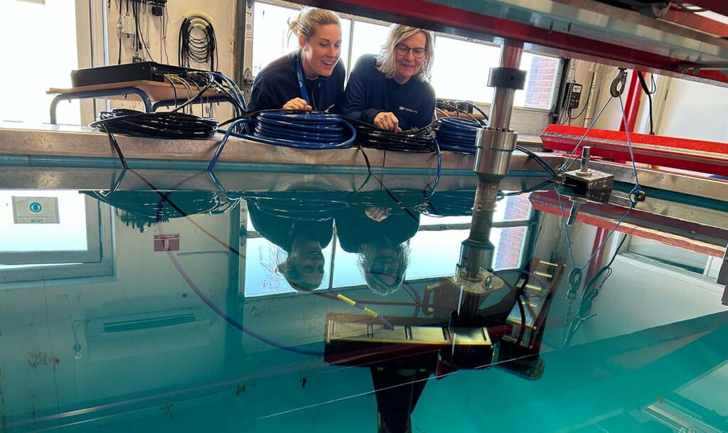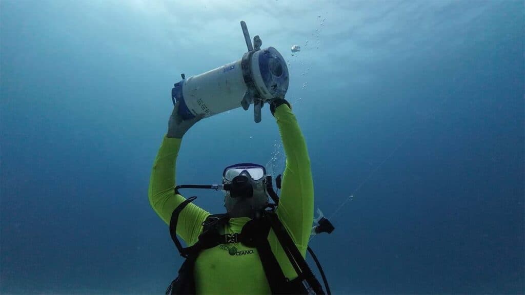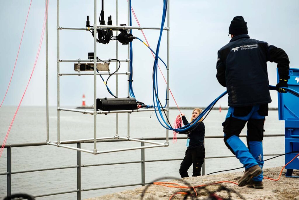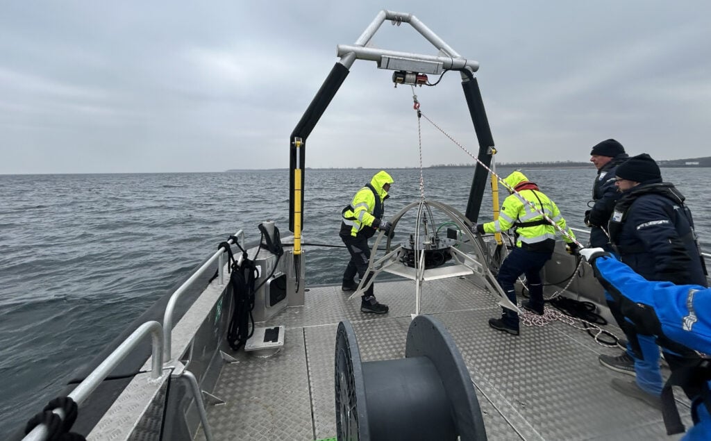
An autonomous profiling float from Teledyne Webb Research, a subsidiary of Teledyne Marine, has successfully completed a world-first under-ice ocean transect in East Antarctica, providing critical data on how ocean conditions drive basal melting.

The APEX float, deployed by Australia’s national science agency, CSIRO, spent eight months beneath the Denman and Shackleton Ice Shelves. Over a two-and-a-half-year mission, the instrument produced approximately 200 ocean profiles along a 300-kilometer transect.
The findings, published in Science Advances, reveal that warm water at depth is reaching the cavity beneath the Denman Glacier. This heat is driving strong basal melt, placing the glacier at a threshold where even small increases in the warm layer’s thickness could trigger an unstable retreat.
In contrast, the data shows that the Shackleton Ice Shelf is not currently exposed to water warm enough to cause rapid melting. A key achievement of the mission was the float’s ability to capture conditions within the 10-meter boundary layer immediately beneath the ice. This specific zone is where ocean-ice heat exchange controls the melt rate, and the resulting data can be used in models to reduce uncertainty regarding future sea-level rises.
The technology used for this breakthrough involves cost-effective, long-endurance instruments that profile the ocean by changing buoyancy. Typically cycling to depths of 2,000 meters, these floats measure temperature, salinity, and pressure, transmitting the data via satellite upon surfacing. While the devices cannot steer laterally, they use an adjustable ice-avoidance feature to remain safe while traveling under ice for months at a time. During this specific mission, the float recorded the depth of the ice base whenever it made contact with the underside of the shelf. Scientists were then able to reconstruct the float’s path by matching these ice-draft measurements with satellite data.
Boundary-layer observations from floats can improve how ocean-ice interactions are represented in computer models, helping reduce the largest uncertainty in sea-level projections: the Antarctic contribution. Deploying more floats along the Antarctic continental shelf would transform our understanding of ice-shelf vulnerability to changing ocean conditions.