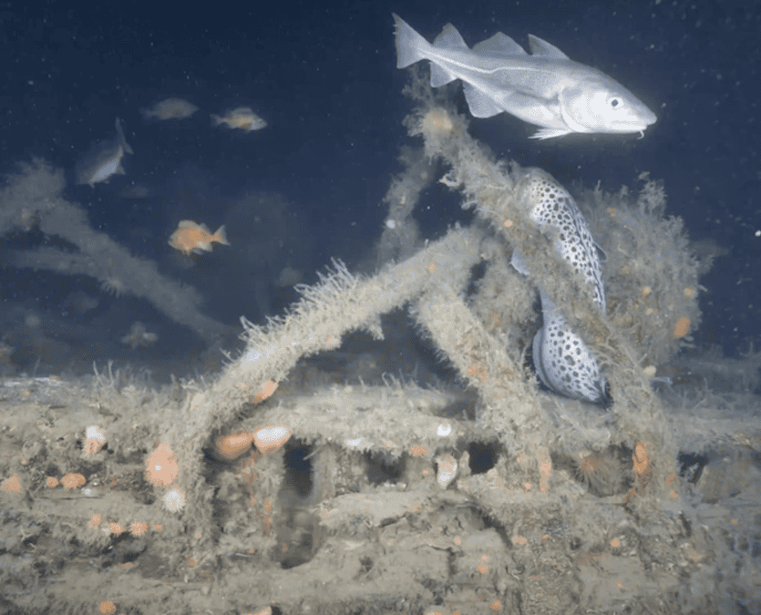

Voyis‘ optical technology supported the creation of a high-resolution 3D reconstruction of the German cruiser Blücher, one of Norway’s most historically significant wrecks.
The 200-meter vessel has remained inverted in Drøbaksundet since April 9, 1940. Previously reachable only to experienced divers operating near 80 meters, the site can now be examined in high detail through a newly developed 3D reconstruction powered by Voyis optical technology.
Submara Prosjekt, working for the Norwegian Coastal Administration (Kystverket), completed one of the most advanced photogrammetric surveys performed in Norwegian waters.
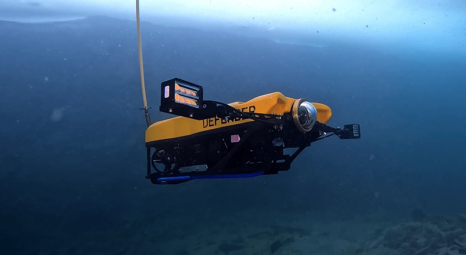
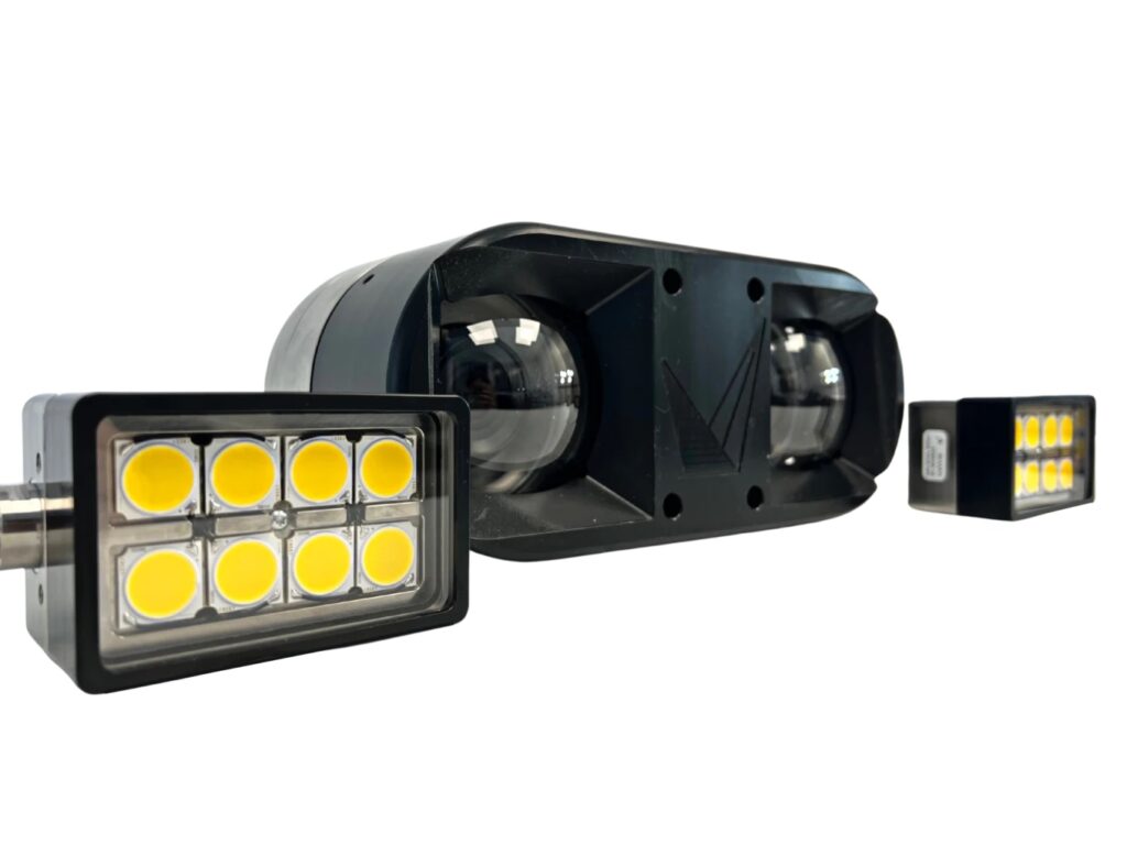
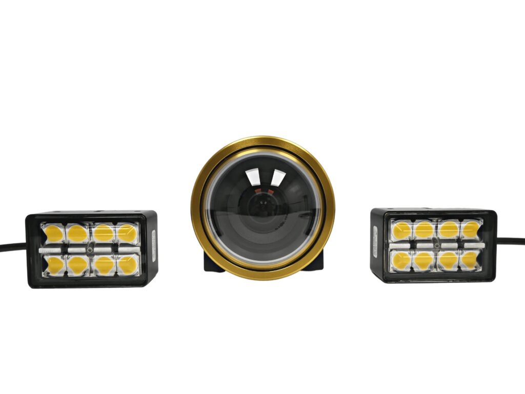
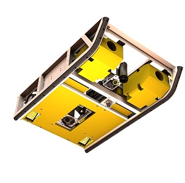
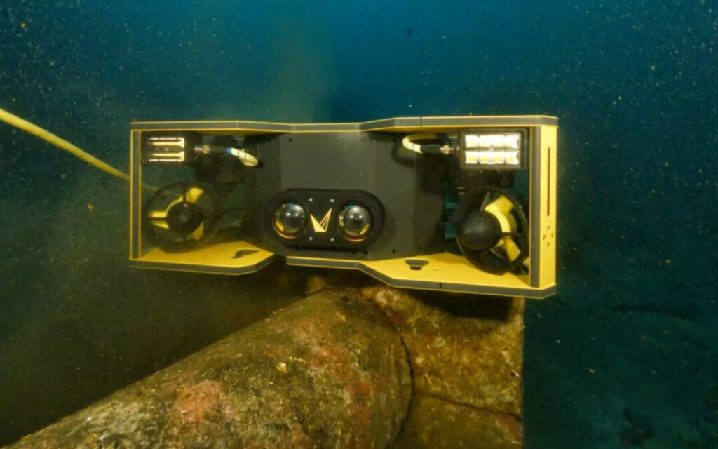
A Voyis Discovery Stereo camera, integrated on a Remotely Operated Vehicle (ROV), captured tens of thousands of overlapping high-resolution images despite very low visibility. The Voyis VSLAM software maintained accurate localization and image alignment to ensure full coverage of the wreck and surrounding debris.
Andrew Reed, Head of Data and Business Development at Submara, stated, “This is one of the most detailed underwater records of a shipwreck ever made. We are very pleased with the result, especially the level of detail. The color correction has removed the green-blue tinge that usually occurs in underwater photogrammetry, revealing the true hues of the wreck as it appears on the seabed.”
The resulting dataset resolves millimeter-scale features including gun barrels, cables, rivets, torpedoes, and hull structure. Color-corrected imagery and dense reconstruction revealed that the vessel likely sank due to hull breaches rather than torpedo impacts, long assumed to be the primary cause.
Environmental Monitoring and Structural Assessment
For Kystverket, the model also supports environmental risk management. Residual oil and other materials remain within the wreck, and the 3D record helps track deformation, detect new leaks, and evaluate potential collapse. Repeated surveys will enable Kystverket to track small structural changes and movement, supporting mitigation planning and faster response to emerging environmental issues.
Optical Systems Supporting Subsea Insight
The project illustrates how modern imaging tools are advancing underwater heritage documentation and environmental monitoring.
The Voyis Discovery Stereo camera produced metrically reliable imagery under challenging conditions, and Visual Simultaneous Localization and Mapping (VSLAM) preserved mapping continuity throughout the mission.
Combined, these tools delivered a complete digital twin of the Blücher, one that will serve both historical preservation and environmental protection efforts for years to come.