Greensea IQ has released Bayonet Insight, a post-processing software toolset designed to provide defense forces with faster access to mission intelligence from maritime robotic systems.
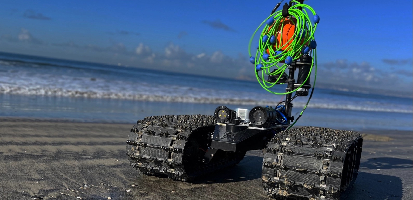
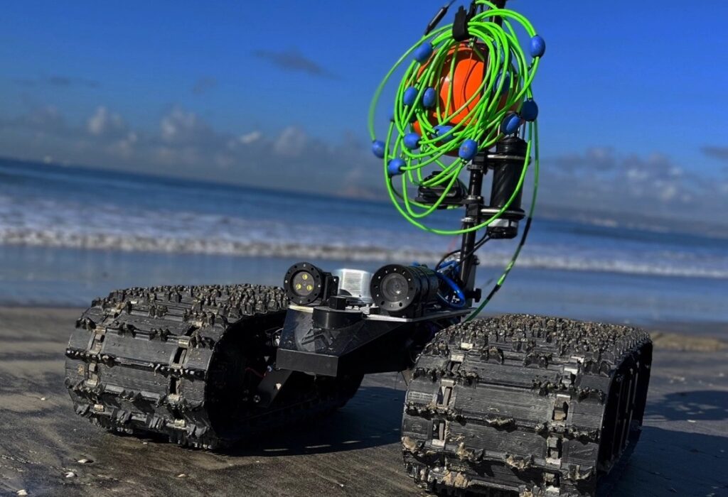
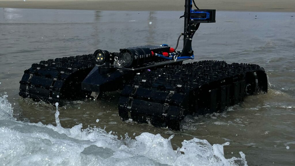
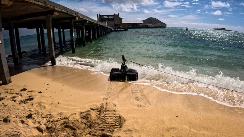
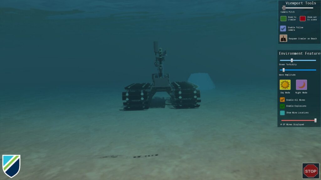
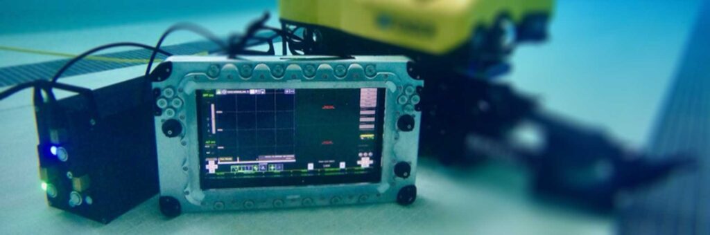
The software supports a wide range of platforms, including Bayonet Autonomous Underwater Ground Vehicles (AUGVs), Mission Specialist Defender ROVs from AeroVironment’s VideoRay, and RNAV diver navigation systems. It is also compatible with Bayonet Underwater Control systems and EverClean ship maintenance robots. By enabling operators to process raw mission data immediately during or after a mission, the toolset generates intelligence products that can be distributed or uploaded directly into battlespace management platforms like TAK.
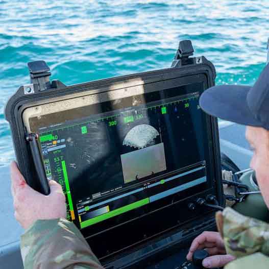
Traditionally, producing intelligence from maritime missions has required hours of processing across multiple tools, often delaying critical decision-making and follow-on tasking. Bayonet Insight addresses this by allowing for the rapid generation of bathymetry maps, geo-referenced mission summaries, contact reports, and sonar or video exports.
Luis Mejia, Senior Solutions Manager at Greensea IQ, commented, “This tool was built in response to clear market demand from operators. Immediate data distributed to all stakeholders is critical to operational efficiency.
“This isn’t software built in isolation. It’s a direct result of listening to the people doing the work and understanding how critical speed and clarity are once a mission ends.”
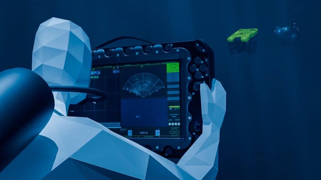
The standalone application automatically organizes telemetry, mission events, and sensor data into a structured workspace. From this interface, operators can create 2D and 3D bathymetric visualizations and use interactive tools to inspect specific points along a mission track. This includes the ability to capture synchronized sonar and video snapshots while extracting precise coordinates and measurements.
One of the primary technical advantages is the ability to export georeferenced bathymetric images as GeoTIFFs. This feature allows for seamless integration with existing Geographic Information Systems (GIS) and reporting workflows. The software has already been demonstrated in live operational settings, where it successfully provided on-time intelligence to mission stakeholders.
The toolset will be available to customers maintaining current EVERGREEN subscriptions, representing Greensea IQ’s ongoing efforts to pair advanced autonomous robotics with practical, operator-focused software solutions.