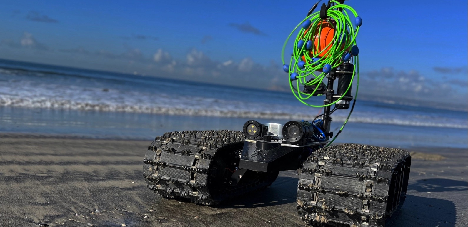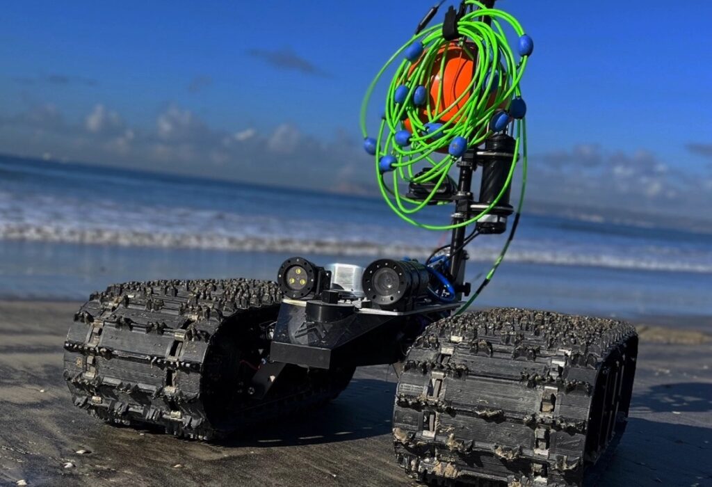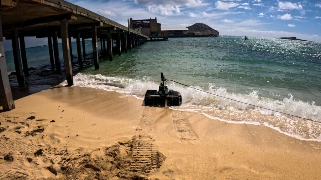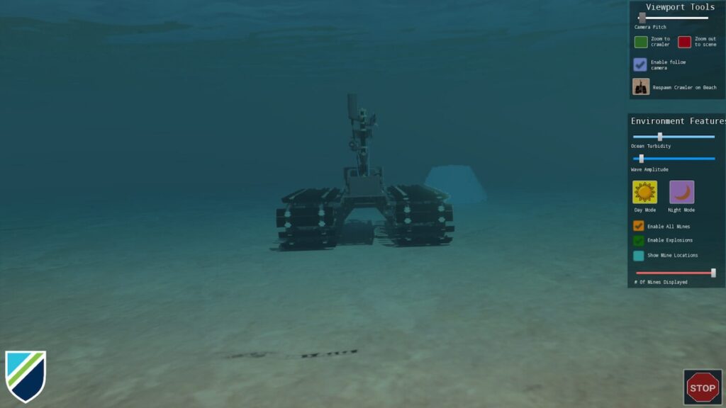
Greensea IQ recently completed a live demonstration of autonomous unexploded ordnance (UXO) detection and classification at the former Maine Bombing Area using the Bayonet 350 Autonomous Underwater Ground Vehicle (AUGV).
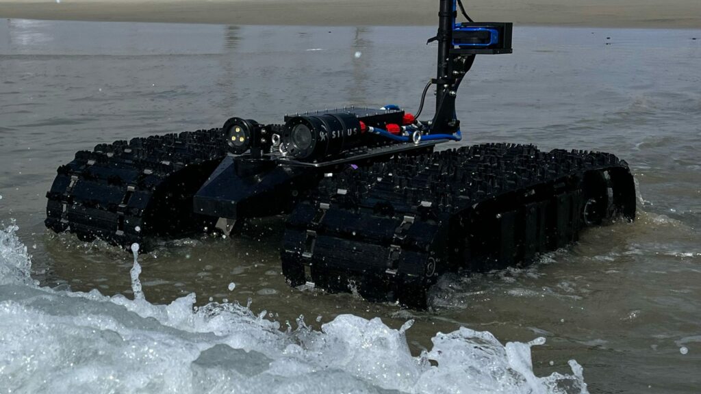
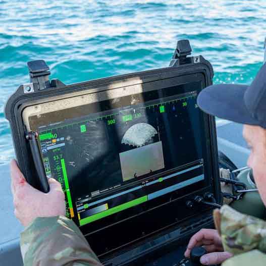
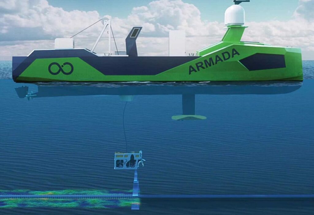
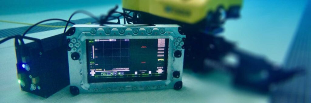
The deployment featured the Bayonet 350 operating in surf, shallow water, and nearshore environments while towing a UXO detection sensor sled. Outfitted with an RTK-GPS system, the vehicle supported the operation of the APEX three-dimensional electromagnetic (3D EM) system developed by White River Technologies. This partnership aims to provide a commercially available solution for the mapping and classification of munitions that failed to detonate and remain in coastal regions, beaches, and nearshore waters.
The demonstration took place at a Formerly Used Defense Site (FUDS) within Reid State Park, the site of a World War II bombing range. Funded through the Department of War’s Strategic Environmental Research and Development Program (SERDP) and the Environmental Security Technology Certification Program (ESTCP), the project validated emerging capabilities in real-world conditions. UXO remains a significant risk to public safety and the environment, often restricting large areas of seabed and shoreline from public use or development.
Historically, identifying these hazards has been resource-intensive, requiring manual surveying in dangerous areas where distinguishing between threats and benign metallic debris is difficult.
Greensea IQ CEO Ben Kinnaman said, “Unexploded ordnance is a major issue in the ocean, especially on beaches, sounds, and marshes. UXO presents both a public safety risk and an environmental hazard. Historically, these areas have been difficult to address because there has not been a reliable way to efficiently search large areas and accurately distinguish UXO from typical seabed trash. The Bayonet AUGV, paired with the APEX system from White River Technologies, enables autonomous surveying of large seabed areas while producing accurate maps of classified threats. This allows for more efficient and precise mitigation. This technology provides a cost-effective way to address a significant public safety challenge and reopen impacted areas for recreation and public use.”
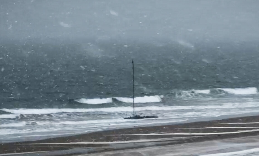
Over five days of field operations, which included a New England blizzard, the Bayonet 350 conducted autonomous surveys over approximately eight acres of surf zone, swash zone, and shoreline. The system experienced no downtime due to failures despite the harsh weather conditions.
Data from the demonstration was processed by White River Technologies using advanced geophysical classification (AGC) methods. These results generated maps and identified Targets of Interest for follow-on investigation by the U.S. Army Corps of Engineers. The operation confirmed the vehicle’s ability to collect high-resolution geophysical data with precise positioning while eliminating the need for personnel in hazardous surf and swash zones.