Teledyne Marine recently collaborated with Maritime Robotics and DEEP to survey DEEP’s quarry lake, known as Loch Lyr, a distinctive location in the Wye Valley.
Loch Lyr serves as the focal point of DEEP Campus, an advanced facility developed by the company. Covering 50 acres, the former National Dive Center provides an ideal setting for testing subsea equipment, refining methodologies, and training personnel under controlled conditions.
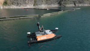
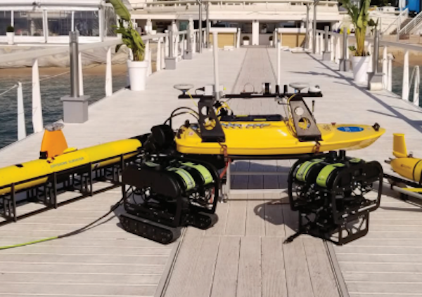
Maritime Robotics Otter Pro USV
The loch itself extends 500 meters in length, up to 125 meters in width, and reaches a depth of 80 meters. Its water quality remains exceptionally clear, preserved through innovative techniques, including perimeter curtains designed to minimize debris entry.
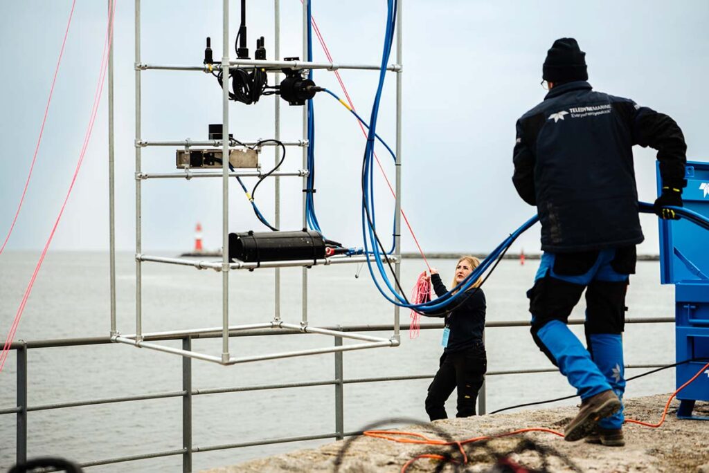
Upon arrival, the team adhered to strict security procedures, attended site safety briefings, and received the necessary personal protective equipment. From the upper levels of the site, the full expanse of the water was obscured from view, with access limited to a 10-story scaffold staircase or a site crane.
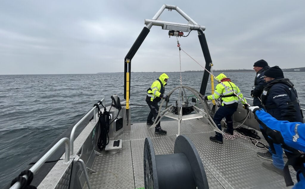
Operations were based at the floating ‘Subs Island,’ positioned just beneath the crane. To maintain the loch’s high water quality, only electric vessels are permitted for use.
Survey Overview
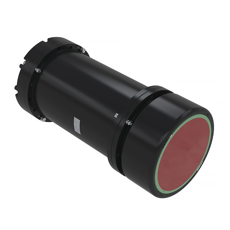
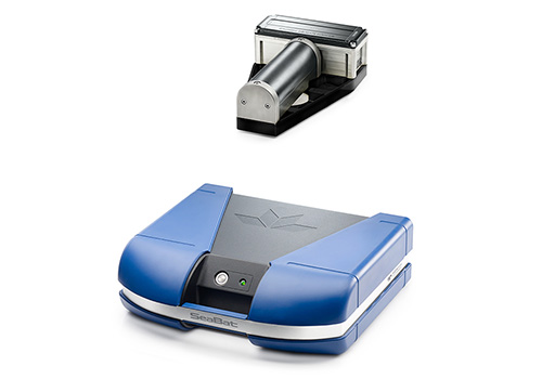
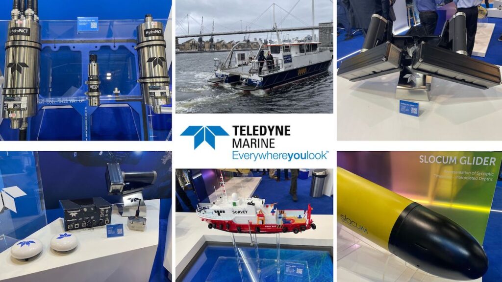
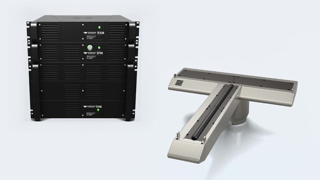
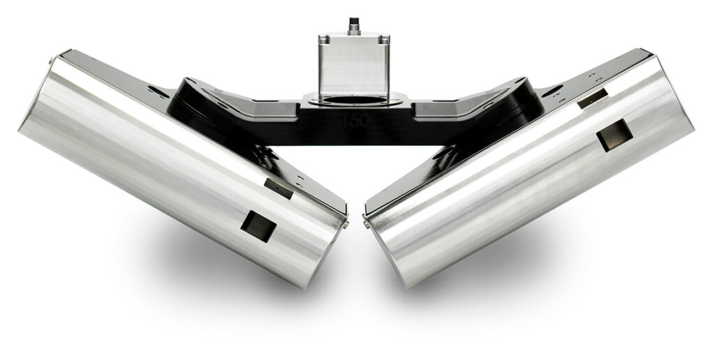
The team employed advanced survey tools, including a Teledyne RESON SeaBat T51 (800 kHz) multibeam sonar with integrated inertial navigation, complemented by a Teledyne Valeport SWiFT profiler. These instruments were mounted on a Maritime Robotics Otter Pro vessel, showcasing the latest advancements in hydrographic mapping.
The SeaBat T51’s settings were adjusted for autonomous operations to map the quarry, while the SWiFT profiler provided crucial environmental data—such as temperature, sound velocity, and depth—to refine multibeam readings. An onboard winch facilitated remote deployment, and near real-time profiler data was accessible via smartphone for immediate quality control.
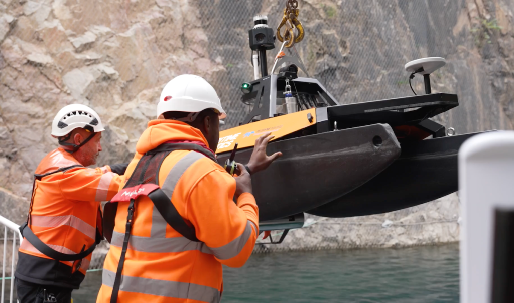
The electric Otter Pro vessel was launched via crane and operated seamlessly both locally and remotely. During breaks for surveyors, operators in Norway managed the vessel through satellite communication, utilizing its onboard cameras and collision avoidance radar to ensure precise autonomous navigation. The survey yielded high-resolution data, covering nearly the entire loch in a single pass.
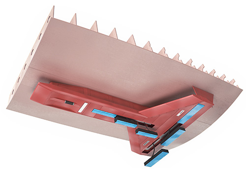
Developing Permanent Underwater Habitats
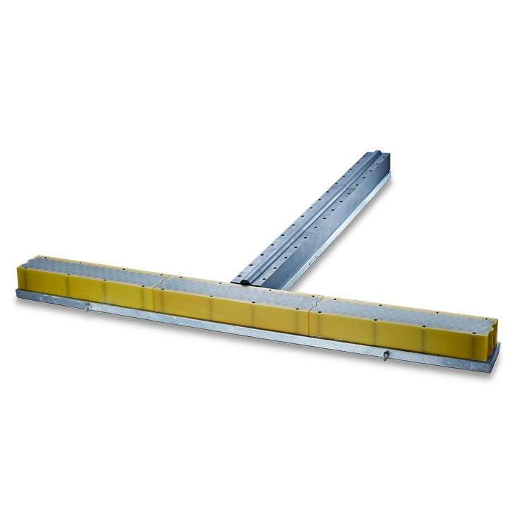
DEEP’s objectives extend beyond surveying. The company’s primary development, Sentinel, is a modular subsea habitat designed to support human life and operations at depths of 200 meters for up to a month. These habitats could reportedly serve as the underwater equivalent of the International Space Station, enabling sustained human presence beneath the ocean surface.
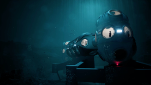
Sentinel subsea habitat
Sentinel’s potential applications include ocean research and the exploration of historical shipwrecks. These habitats are being produced using Wire Arc Additive Manufacturing (WAAM), an advanced 3D printing technique that employs an electric arc to melt metal wire feedstock. WAAM enables the rapid fabrication of large, complex structures (up to 6.2 meters in diameter and 3.2 meters in height) with outstanding precision.
The Loch Lyr survey showcased the expertise of Teledyne Marine and Maritime Robotics in real-world conditions, delivering valuable data to support DEEP’s projects. This data will be key in selecting optimal sites for Sentinel habitats and informing DEEP’s dive team operations.
Sean Wolpert, President of DEEP, commented, “We’ve been very impressed with the quality of the data provided. With the work that Teledyne has accomplished for us we have gained granular, high-resolution imagery that will allow us to determine where we will place our first habitats for testing in the quarry. Having a detailed view of the surrounding areas will help us inform our dive teams, making sure safe and effective dive programs are in place.”