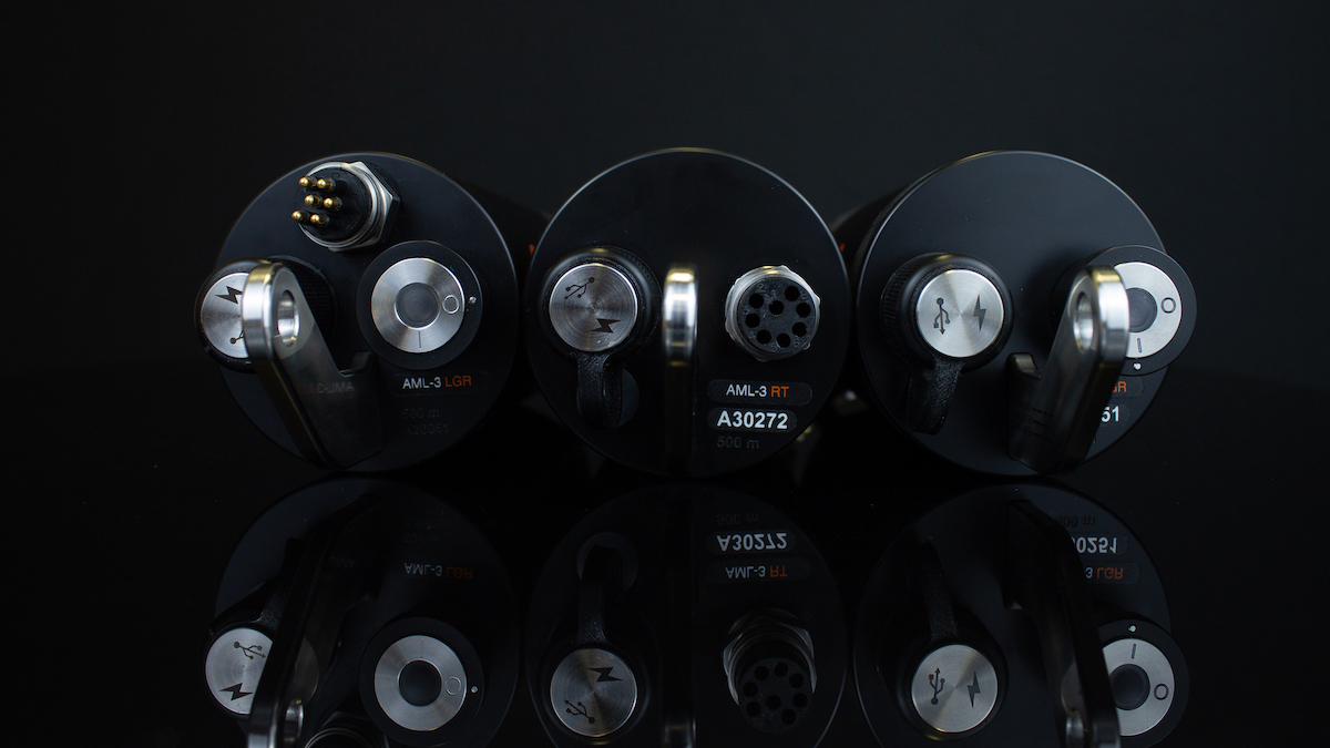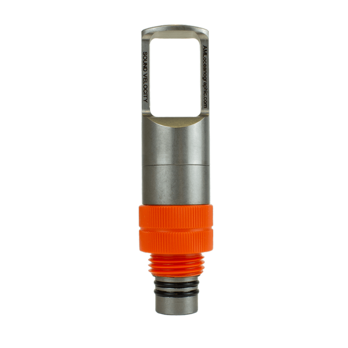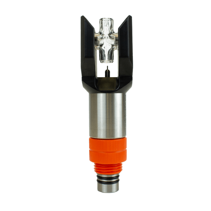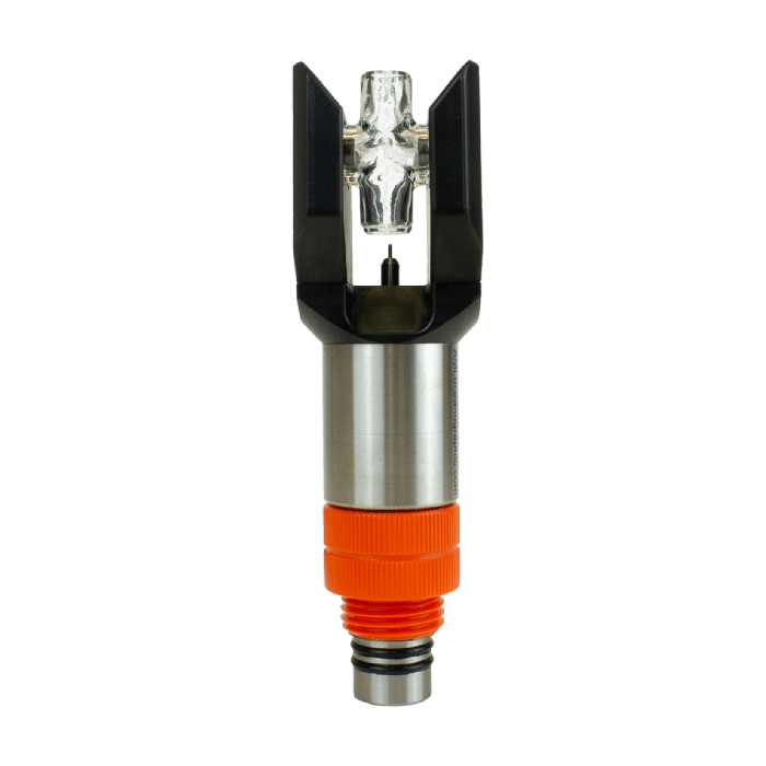
AML Oceanographic has emphasized the indispensable role of accurate sound velocity data in securing the integrity of modern hydrographic surveys.
The Physics of Underwater Sound
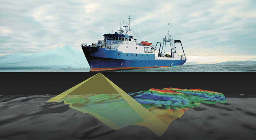
According to the company, multibeam sonar serves as the backbone of modern hydrographic operations, but its ultimate performance is bound to the speed of sound. Sound does not travel in a straight line underwater; instead, it refracts and bends as it travels through marine layers with varying temperatures, salinities, and pressures. Dynamics such as currents, solar noon, or salt domes heavily influence these vertical layers. Because the upper layer of the ocean remains highly dynamic, conditions can shift hourly, causing severe measurement errors. Without precise sound velocity (SV) data, depth assessments can become biased, seafloor positions misplaced, and mapped results distorted.
If too few profiles are collected, the data may look clean yet remain entirely shifted, creating a mix of shallow and deep errors. Overestimating or underestimating the horizontal and vertical path of the acoustic signal leads to compromised results and navigational risks, such as seafloor collisions.
Critical Points of Sound Velocity Application
The company has outlined two vital areas where sound speed data plays a crucial role:
- At the transducer head: Proper surface sound speed ensures that acoustic beams are steered at the correct angle right from the start. An acoustic pulse is sent from the sensor to a target and back, and this travel time is measured and converted into depth using the surface sound speed measurement.
- Through the water column: Frequent sound velocity profiles (SVPs) are required to account for refraction caused by layering from river outflows, surface heating, or salinity changes, which strongly affect the path of the acoustic signal.
The Dual Impact of Speed Errors
Inaccurate measurements trigger two distinct errors: refraction and scaling.
Sound waves refract as they pass through differing water layers, which is Snell’s Law in action. If the profile of the water column is incorrect, the multibeam sonar system miscalculates where each beam lands on the seafloor, shifting features horizontally and vertically.
Additionally, multibeam sonars record time-of-flight to determine depth. If the assumed average sound speed is wrong, the range is scaled incorrectly, shifting the entire seafloor vertically.
Compounded Mapping Distortions
When these refraction and scaling errors compound, the results are deeply compromised. The company warns that an outdated, sparse, or miscalibrated SVP yields a classic “garbage in, garbage out” scenario, which no amount of post-processing can fully correct.
With incorrect profiling, the nadir beam becomes too shallow or deep, while the outer beams typically curve in the opposite direction. This creates distinct “smiles” or “frowns” where the seafloor appears to curve up or down at the edges of the swath. This distortion poses serious safety hazards, safety issues, and leads to costly rework.