
Showcase your capabilities
If you design, build or supply USV Software, create a profile to showcase your capabilities and connect with visitors who have an active requirement for your solutions.



USV software is the digital command environment that enables unmanned surface vessels to navigate, execute missions, manage payloads, and collect reliable ocean data. These systems integrate autonomy, collision avoidance, mission planning, fleet management, sensor control, and communications across hydrographic survey, environmental monitoring, offshore inspection, and emergency response operations.
This page showcases leading USV software providers supporting precise line-keeping, synchronized sonar and sensor data, adaptive sampling, and repeatable missions over extended deployments.
Read the Technology Overview
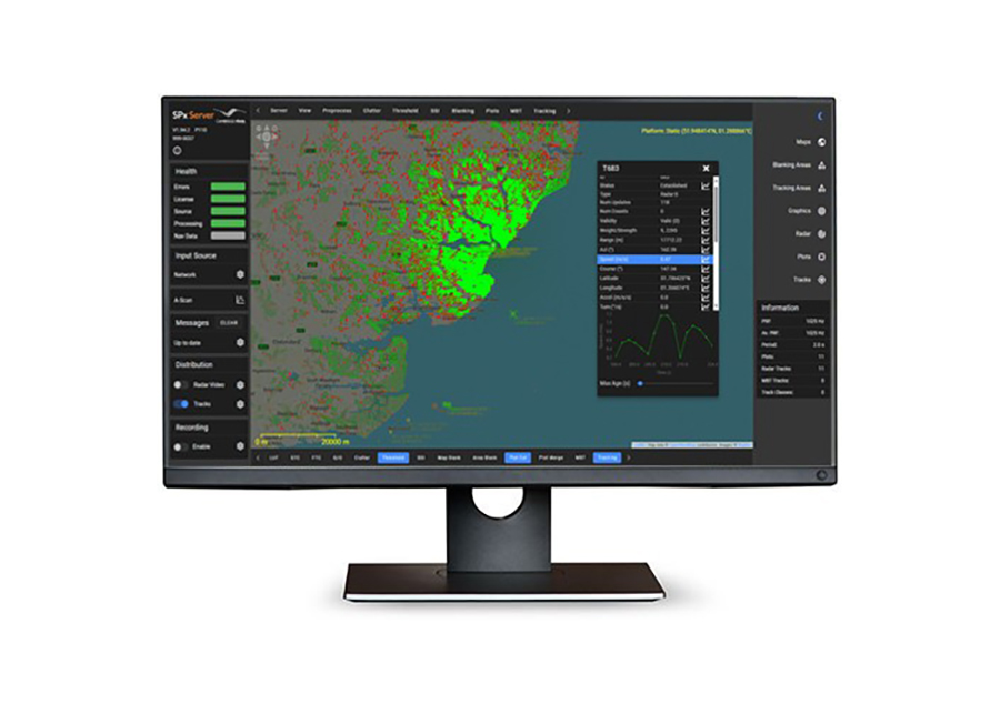
Radar & Sensor Data Acquisition, Tracking & Display Solutions for Maritime & Offshore Applications

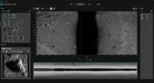
AI-Powered Maritime Intelligence for Surveying, Asset Inspection & Underwater Security

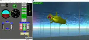
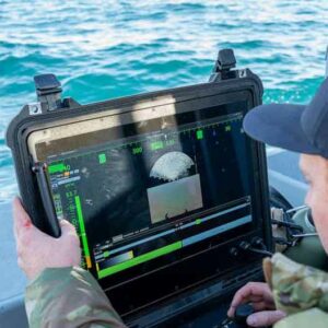
Marine Vehicle Management Technologies: Marine Autopilots, Remote Control Systems, and Simulation Solutions

If you design, build or supply USV Software, create a profile to showcase your capabilities and connect with visitors who have an active requirement for your solutions.

USV software is the core digital operating environment enabling an unmanned surface vessel to navigate, manage payloads, process environmental data, communicate, and adapt to dynamic maritime conditions. While platforms are often characterized by hull form, propulsion, or payload capacity, the digital architecture ultimately dictates operational capability. The hardware provides buoyancy and power, but the software stack ensures safe, accurate execution by translating high-level intent into deterministic mechanical commands.
For marine science and ocean engineering professionals, software quality directly dictates data fidelity. Poor control logic introduces cross-track errors that compromise sonar coverage, while weak payload integration results in misaligned timestamps or flawed georeferencing. Conversely, optimized software for USVs enables precise, repeatable missions over extended timelines to lower operating costs, reduce offshore human exposure, and ensure compliance with evolving frameworks like the IMO MASS Code.
To build a dependable unmanned asset, engineers typically segment the primary digital architecture into several core functional areas.
Evaluating these distinct modules allows system specifiers to determine whether a platform provides an isolated control tool or a fully integrated command ecosystem.
Hydrography demands exceptional synchronization, precision line-keeping, and rigid metadata quality. The software coordinates high-volume data streams from multibeam echo sounders (MBES), sub-bottom profilers, and inertial navigation systems (INS), acting as a centralized synchronization clock to eliminate data lag. Control software continuously minimizes cross-track error in heavy swells to prevent data gaps, while the autonomy engine avoids shallow-water hazards without erratic movements that could introduce transducer aeration.

OPENSEA – Open Architecture Software Platform for Marine Robotics by Greensea IQ
For marine researchers, software enables long-term data repeatability across precise geographic transects. It automates data harvesting from CTD profilers, dissolved oxygen sensors, fluorometers, and meteorological instruments, anchoring every measurement to precise spatial and temporal metadata. Advanced autonomy software utilizes adaptive mission planning, allowing the vessel to analyze sensor data in real time and automatically tighten its survey grid or trigger mechanical water samplers upon detecting environmental anomalies like algal blooms.
In offshore energy and wind environments, USVs function as critical data gateways for subsea engineering. The software simultaneously coordinates acoustic communication links with Autonomous Underwater Vehicles (AUVs) or Remotely Operated Vehicles (ROVs), logs structural inspection data, and streams live telemetry to shore. For resident or persistent maritime robotics deployed within wind arrays, the software autonomously manages docking sequences, induction charging cycles, and weather-window scheduling.
In security and emergency scenarios, USVs enter hazardous areas without endangering personnel. Software environments generate optimized search patterns, map toxic oil spill boundaries via remote sensing, and coordinate thermal or optical payloads for search and rescue. For these high-consequence roles, developers emphasize auditable autonomy, ensuring every decision tree, obstacle detection, and navigational rule triggered by the software is fully logged for post-mission review.
Deploying autonomous systems in shared and international waters requires strict adherence to international maritime frameworks and data protocols.
Successfully embedding these standards into the underlying source code ensures that unmanned platforms pass rigorous class notations and gain local port permissions.
Processing tasks are split across a resilient, multi-tiered computing architecture. Low-level autopilots run real-time, deterministic control loops for throttle and rudder adjustments. The primary mission computer executes high-level autonomy, routes payload data, and manages communication links. Dedicated edge processors are integrated to run heavy computational workloads locally, such as machine vision or real-time sonar data filtering, preserving satellite bandwidth.

Maritime Display Framework for USVs by Cambridge Pixel
Software architectures must remain continuously energy-aware, especially on hybrid or fully electric platforms. The control system monitors real-time battery voltage, thermal status, and current draw from power-intensive payloads. Mission computers calculate energy budgets dynamically based on projected wave resistance and payload duty cycles, automatically alerting operators or triggering safe return-to-base modes before reserves become critical.
USV software must translate commands across varied propulsion types, including outboards, waterjets, podded thrusters, differential thrust configurations, or sail-assisted systems. Control loops are specifically tuned to the physical lag and hydrodynamic properties of the vessel, prioritizing smooth, micro-adjustments during survey operations to prevent data degradation caused by excessive hull roll or sudden yaw.
The software stack functions as the orchestrator for high-resolution bathymetric payloads. It configures sonar ping rates, monitors swath width, maps real-time data coverage, and flags gaps caused by severe vessel motion. By integrating directly with hydrographic processing suites, the software ensures that high-rate attitude data is flawlessly combined with acoustic data at the edge.
Integrating biogeochemical instrumentation requires software that ties raw environmental readings to precise positional metadata and calibration profiles. The software controls sensor sampling intervals and manages the mechanical triggers for physical water sampling bottles, coordinating these hardware events with spatial coordinates, tidal stages, or automated adaptive triggers.
Optical payloads provide essential spatial awareness and inspection capabilities. Machine vision software processes video feeds to isolate targets, assigning statistical confidence values to each detection. Because marine environments present severe glare, sea spray, and fog, the software avoids false positives by cross-checking optical targets against active marine radar returns and AIS tracking data.
The next generation of marine robotics is driving a paradigm shift toward cloud integration, certified decision-making models, and cross-domain collaboration.
As these capabilities mature, the distinction between hardware configurations will blur, positioning software as the primary differentiator for offshore operational success.
 Searching Companies & Products
 Subscribe to the Weekly eBrief
The latest engineering and technical developments straight to your inbox - join thousands of engineers who receive it.
Subscribe to the Weekly eBrief
The latest engineering and technical developments straight to your inbox - join thousands of engineers who receive it.