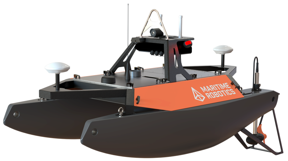
Unmanned Surface Vehicles (USVs)
Discover cutting-edge solutions from 4 leading global suppliers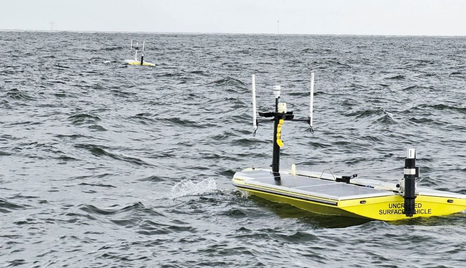
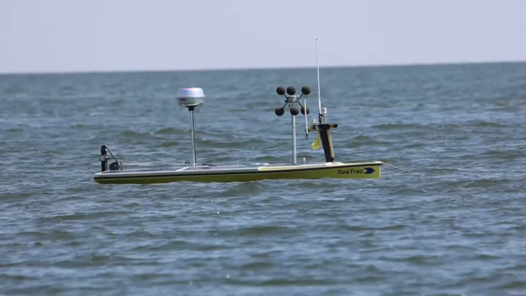
SeaTrac Systems and the University of Southern Mississippi have successfully completed the second phase of a remotely commanded mission to map hypoxia zones in the Gulf of Mexico using Uncrewed Surface Vehicles (USV).
Hypoxia zones, frequently referred to as dead zones, are regions where nutrient pollution leads to depleted oxygen levels in the water, posing a significant threat to marine ecosystems. Building on a successful initial deployment, this latest phase expanded the operational scope by utilizing two SP-48 USVs simultaneously. Both craft were managed by a single shore-based operator, collecting critical data on conductivity, temperature, depth, and dissolved oxygen to map areas essential for fisheries management.
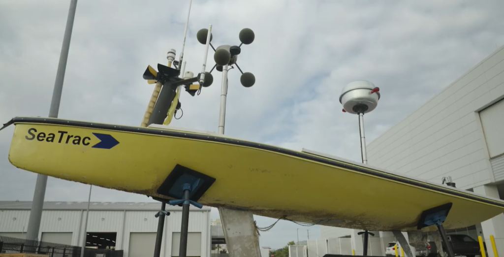
The mission introduced several technical enhancements, including extended battery capacity, refined power-management strategies, and the integration of two wireless-charging AML sondes. By shifting the deployment site to the Marine Research Center harbor in Mississippi, the team achieved longer on-station times and broader spatial coverage. Over-the-horizon connectivity allowed both vehicles to transmit data in near-real-time for immediate quality control.
Throughout the operation, the platforms gathered 123 verified hypoxia data points while maintaining safe power margins, even as a tropical weather system passed through the area. The use of autonomous craft eliminated the need for an onboard crew, resulting in a substantial reduction in fuel consumption, operational costs, and personnel exposure to offshore risks compared to traditional crewed survey vessels.
Hobie Boeschenstein, Director of Operations at SeaTrac Systems, said, “Phase two proves that USVs are fully operational tools in challenging offshore environments, particularly when multiple are used. Remotely commanding a fleet of USVs from a shore-based control station with a single operator demonstrates a scalable model that reduces demands on traditional vessels, with reduced fuel consumption and offshore risk — all while delivering high-quality scientific data. This represents a meaningful shift in how long-duration ocean monitoring and offshore missions can be executed.”
The integration of wireless sensors and extended endurance allowed researchers to adapt their sampling strategies as environmental conditions evolved. This flexibility provided higher spatial resolution data than is typically possible with traditional methods.
James Thompson, Research Engineer at USM, added, “From a research standpoint, the ability to collect 123 verified hypoxia data points without putting a crew offshore is significant. The extended endurance, wireless sensor integration, and near-real-time QA/QC allowed us to adapt sampling as conditions evolved. We’re gaining higher spatial resolution data while operating more efficiently than traditional survey methods allow.”
The completion of this phase validates the use of autonomous tandem vehicles as a practical and repeatable pathway for sustained offshore monitoring. By demonstrating that multiple vehicles can be managed effectively by a single operator, the mission establishes a new standard for high-density, low-cost ocean data collection in dynamic environments.