Data Buoys Supplied to Observe Dredging Operations 

OSIL’s data buoys will provide continuous real-time information about the dredge plume and surrounding environmental conditions of Van Oord’s dredging locations, keeping track of dissolved oxygen levels and turbidity By William Mackenzie / 29 Apr 2024

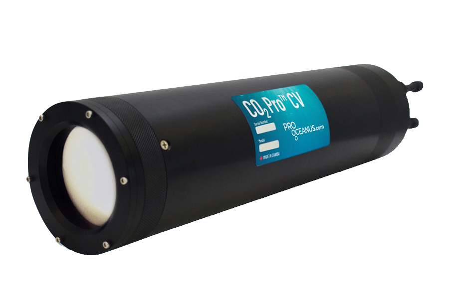
Dissolved CO2 Sensor Probes

Discover cutting-edge solutions from leading global suppliers
SUPPLIER SPOTLIGHT
Data Buoys Supplied to Observe Dredging Operations 
Follow OS&T

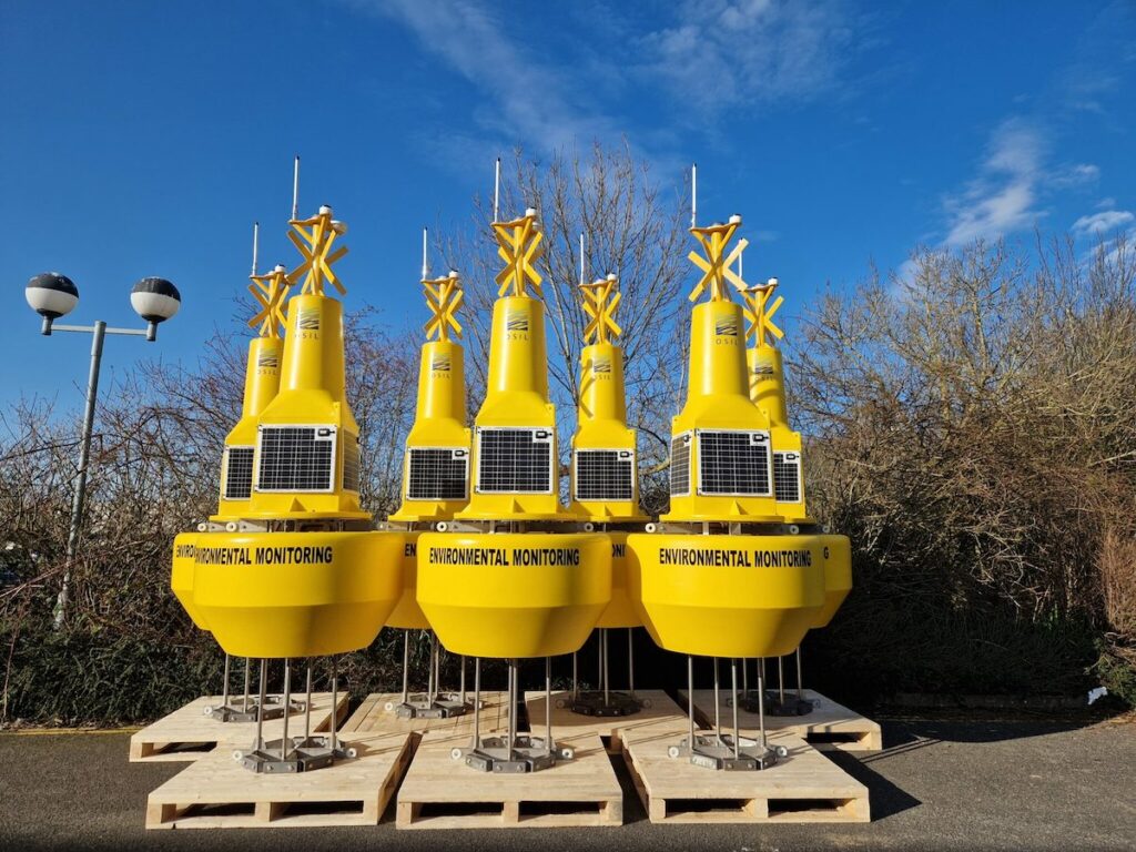
Ocean Scientific International Limited (OSIL), a marine systems manufacturer for environmental monitoring and sampling systems, has supplied a network of 1.2m data buoys to offshore construction company Van Oord.

The fully integrated multi-discipline data buoy networks, configured to monitor turbidity and dissolved oxygen levels in dredging sites, will support dredging operations by providing continuous real-time information about the dredge plume and surrounding environmental conditions.

The buoys are equipped with water quality sondes provided from Van Oord’s existing equipment pool, and relay collected data via GSM with an Iridium satellite Short Burst Data (SBD) back up.

OSIL data buoys can be outfitted with a multitude of instruments and sensors, from measuring basic parameters such as water temperature, current and wave measurements, atmospheric pressure and salinity, to hydrophones, subsea cameras, or sensors for nutrients, pollutants, oxygen and CO2 levels, or Chl-a and PAR.

The systems are self-contained, being furnished with sufficient solar power (which can be combined with alternative power sources) and back-up batteries to sustain the power demands of the systems. Data can be relayed from the buoys immediately and securely via GSM, radio or satellite, to a secure webpage or internet enabled device.

OSIL add that a total of 9 data acquisition systems have been produced for Van Oord, and the company now has over 800 data buoy systems worldwide.

Posted by William Mackenzie Edited by William Mackenzie, Junior Editor and Copywriter practised in digital content creation and writing about defense and marine technology. Connect & Contact

Latest Articles

Advanced Radar Tracking Tech Delivered for Offshore Security

Elcome will receive multi-sensor security capabilities through radar tracking, recording, and display technology using Cambridge Pixel’s SPx Server to generate track information

Mar 28, 2025
Sonardyne Unveils New Shallow Water DP Reference System

Sonardyne is launching SPRINT-Nav DP, a shallow water dynamic positioning reference system that integrates high-grade inertial navigation with Doppler velocity log technology in a single, pre-calibrated unit

Mar 28, 2025
High-Resolution Profiling Solutions: Q&A with Del Mar Oceanographic

Chris Kontoes from Del Mar Oceanographic delves into the advantages of high-resolution profiling solutions, emerging trends, and highlight the Wirewaker’s advancements in ocean observation

Mar 28, 2025
Advanced Subsea Positioning System Selected for Offshore Cable-Laying

Exail completes its first sale of the Gaps M3 USBL system, providing high-precision subsea positioning as part of a cable laying project for an Asian offshore construction group

Mar 27, 2025
MostaTech to Showcase Miniature Fiber Optic Gyroscopes at IEEE INERTIAL 2025

MostaTech will present its advanced fiber optic gyroscopes and inertial measurement units at IEEE INERTIAL 2025, highlighting precision, durability, and compact design for demanding applications

Mar 27, 2025
NMEA Selects Chief Engineer at Actisense as 0183 Committee Chair

Andy Campbell, Chief Engineer at Actisense, has been appointed NMEA 0183 Committee Chair, leading efforts to enhance the standard’s interoperability and future development

Mar 26, 2025

Featured Content

Elwave Provides CEDAR® Technology for Mine Countermeasures Program

Elwave is supplying its CEDAR® sensing technology to the European E=MCM program, enhancing mine countermeasure capabilities with advanced detection and classification solutions

Mar 24, 2025
Robosys Automation Unveils New Autonomous Trials Boat

Robosys Automation has unveiled its new autonomous trials boat, the ‘Pioneer’, designed to support the integration of its VOYAGER AI software for advanced maritime autonomy

Mar 18, 2025
Advancing Underwater Mapping with High-Resolution Echosounder Technology

CHC Navigation has introduced the HQ-400, a multi-beam echosounder utilized for bathymetric and hydrographic surveys which allows for reliable performance in underwater mapping and seafloor analysis

Mar 12, 2025