Open Ocean Robotics recently conducted a case study on eelgrass beds in Victoria, BC, Canada, aiming to collect detailed data on eelgrass density and coverage in the ecologically significant area.
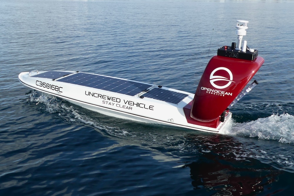
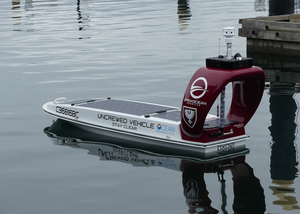
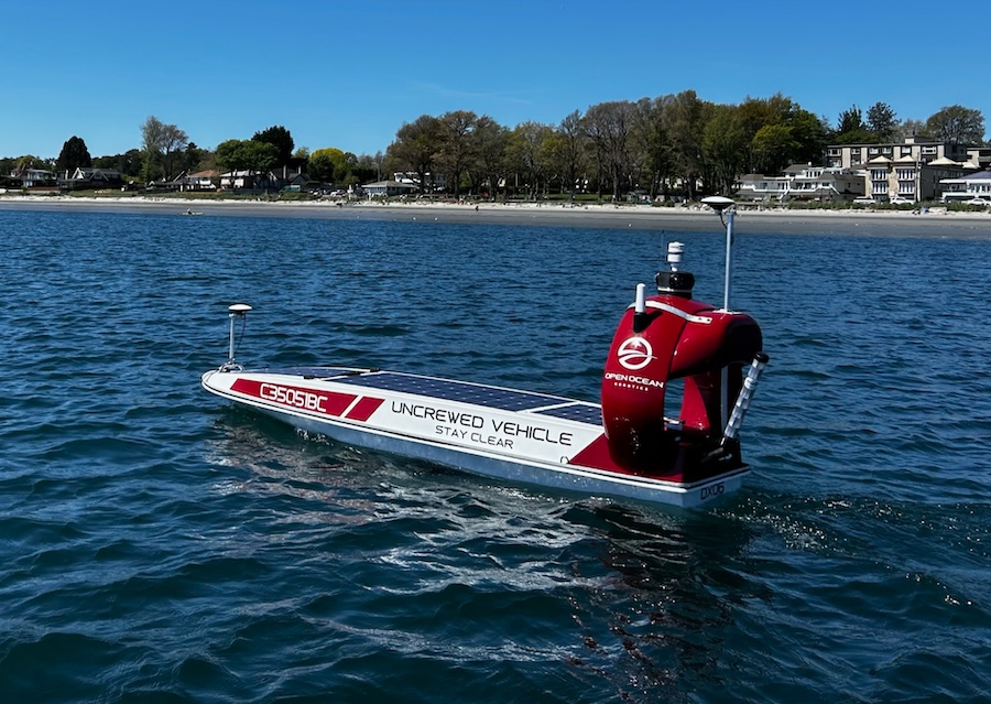
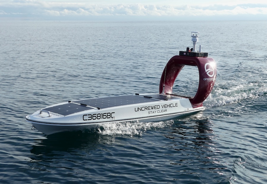
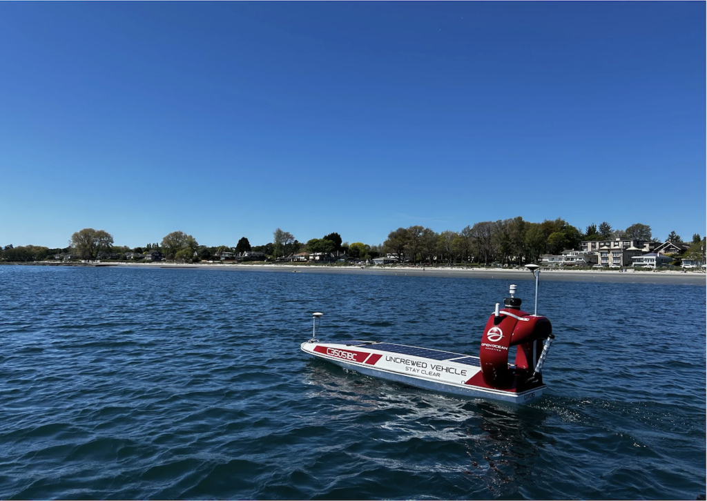
The company deployed its DataXplorer, a solar-powered uncrewed surface vehicle (USV), for this research. The USV was equipped with the Ping 3DSS-iDX-450, a high-resolution 3D side scan sonar system, transforming it into an advanced tool for comprehensive seagrass surveys.
This technology enabled marine scientists and conservationists to gain deeper insights into seagrass distribution, track changes over time, and formulate targeted strategies for protecting these crucial carbon-capturing ecosystems.
Mission Highlights
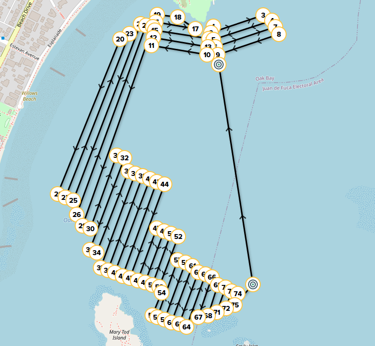
- During the study, the DataXplorer successfully mapped approximately 42.3 hectares in just two hours.
- The USV demonstrated its capability in accurately mapping eelgrass, a critical task for understanding the distribution and health of these vital underwater ecosystems.
- Monitoring eelgrass is crucial for maintaining biodiversity, supporting marine life, and mitigating coastal erosion.
Seagrass Mapping & Marine Conservation
Seagrass meadows are exceptionally productive ecosystems with remarkable carbon sequestration abilities. These underwater habitats can store up to five times more carbon than forests, with each square meter of seagrass annually removing about half a pound of carbon from the atmosphere. This performance surpasses that of tropical rainforests, temperate forests, and grasslands.
The importance of mapping seagrass ecosystems has grown significantly in recent years, driven by their critical role in carbon sequestration and marine biodiversity. As “blue carbon” habitats, seagrass meadows are crucial for mitigating climate change. However, they face rapid global destruction, making accurate mapping and monitoring essential for their protection and restoration.
Mapping seagrass serves multiple purposes. It allows for the quantification of existing carbon stocks and helps prioritize restoration efforts to enhance carbon sequestration. This data can assist jurisdictions in meeting greenhouse gas and climate adaptation goals. Additionally, mapping aids researchers in understanding system dynamics, such as loss and gain rates, potentially justifying carbon market projects.
By providing this vital data, seagrass mapping contributes to both scientific understanding and practical conservation efforts, helping to preserve these invaluable marine ecosystems and their role in combating climate change.
Case Study Goals
- Showcase the solar-powered DataXplorer’s exceptional line-following capability, enabling efficient, large-scale, and non-invasive surveys of sensitive marine habitats while minimizing disturbance and maximizing data collection.
- Employ the Ping 3DSS-iDX-450 3D side scan for high-resolution, wide swath sonar imaging, allowing precise seafloor classification, bathymetry, and detailed seagrass density mapping.
Study Results
Autonomous Mission Plans
The mission was meticulously planned with designated waypoints, facilitating straightforward setup and execution. Upon reaching Oak Bay Marina, the USV autonomously mapped the area. This approach simplified the task and demonstrated the excellent line-following capabilities.
Remote Operations
Shore-based pilots in Victoria, BC operated the USV, with data transmitted in real-time to both Open Ocean Robotics and Ping DSP in Sidney, BC.
Bathymetry
The 3DSS-IDX-450 sonar proved to be a reliable tool for shallow water hydrographic surveys, offering advantages in terms of size, swath width, and power consumption.
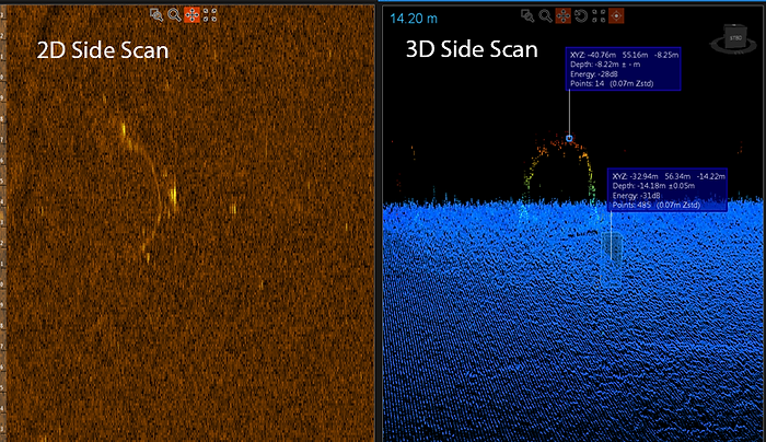
Side Scan
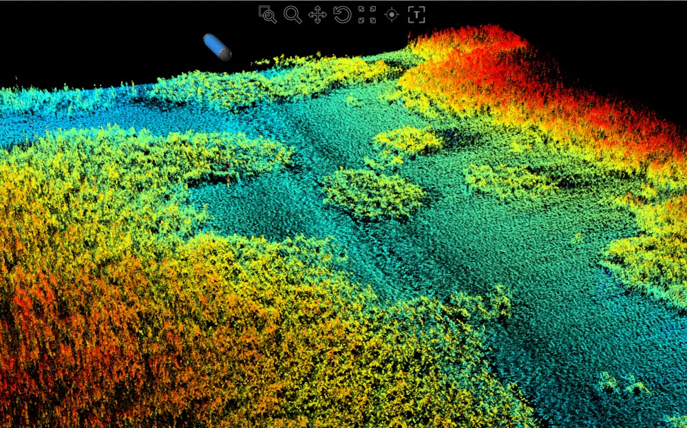
Using the CAATI methodology, raw data points are visualized in a point cloud display, creating a geometrically accurate 3D representation of a 2D side scan image. This point cloud can be rotated and manipulated to provide 3D views of object geometry in side scan imaging detail.
Find suppliers and manufacturers of Side Scan Sonar Systems >>